The magnitude 6.0 quake was located at 29 kilometers southeast of San Agustin, Surigao Del Sur. It was tectonic in origin and had a depth of 33 kilometers.
Surigao del Sur was rocked by a magnitude 6.0 earthquake Monday morning.
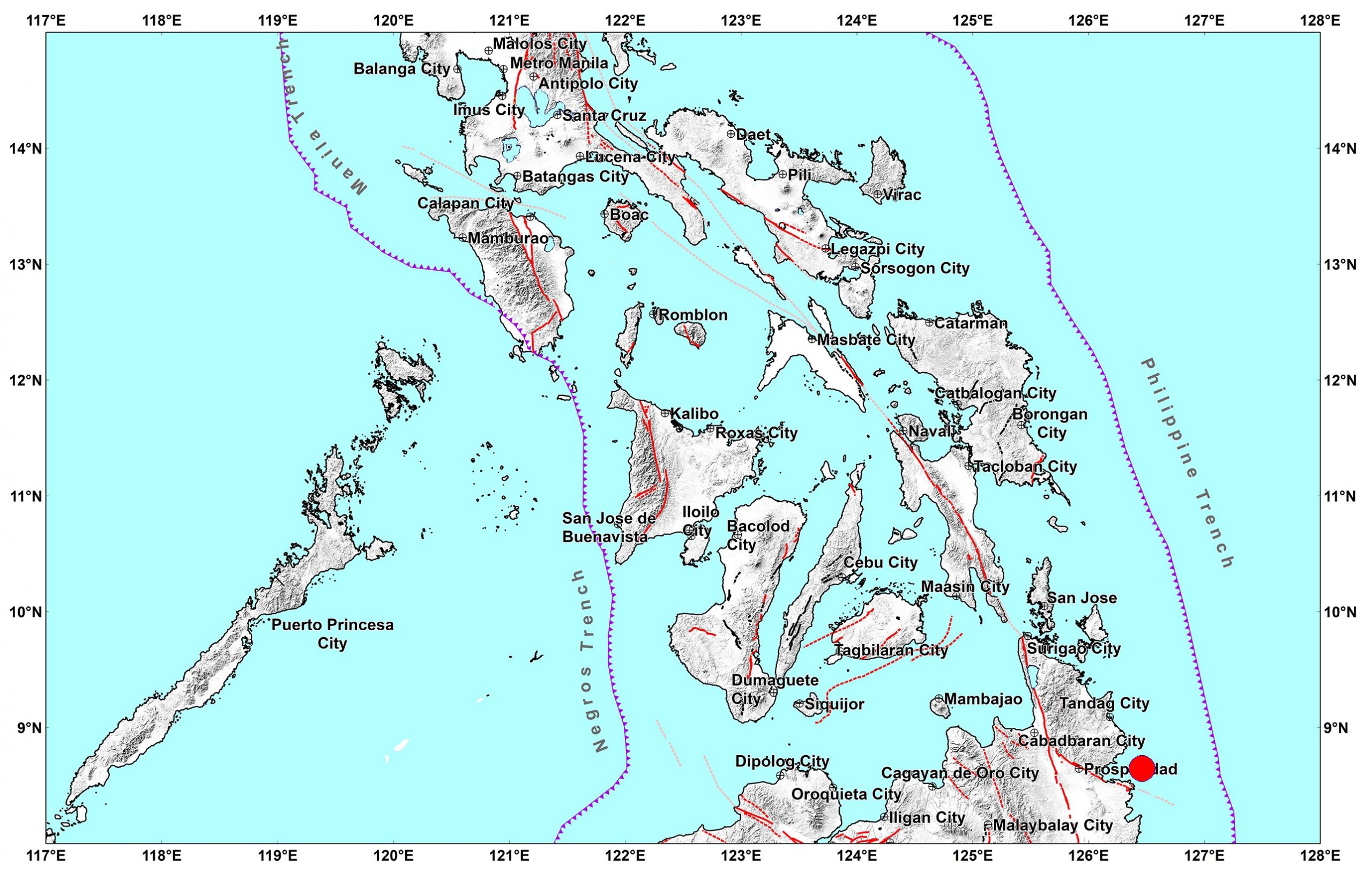
The Philippine Institute of Volcanology and Seismology (Phivolcs) said the epicenter of the quake struck at 6:47am and its epicenter was located at 29 kilometers southeast of San Agustin, Surigao Del Sur. It was tectonic in origin and had a depth of 33 kilometers.
The state quake agency revised its earlier earthquake bulletin, issued at 6:56am, that measured the quake at 6.4 magnitude and placed its epicenter at 11 kilometers northwest of San Agustin town with a depth of focus at 58 kilometers.
Philvolcs said aftershocks and damages to property are expected.
No tsunami warnings were raised.
The following intensities were recorded in the following areas:
Intensity V- Bislig City, Surigao del Sur; Rosario, Agusan del Sur
Intensity IV- Cagwait, City of Tandag, Bayabas, Surigao Del Sur
Intensity III- Cagayan de Oro City; Tagaloan, Villanueva, Balingasag, Misamis Oriental
Intensity II- El Salvador City, Initao, Luagit, Manticao, Misamis Oriental; Virac, Catanduanes
Intensity I- Iligan City
The following instrumental intensities were also recorded:
Intensity IV- Bislig City, Surigao del Sur
Intensity III- Gingoog City, Misamis Oriental
Intensity II- Cagayan de Oro City; Surigao City, Surigao del Norte;
Intensity I- Alabel, Sarangani; Koronadal, Tupi, South Cotabato; Kidapawan City; Palo, Leyte; Borongan City
Rommel F. Lopez