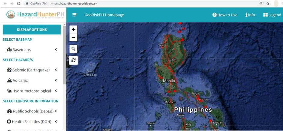
A screenshot of the HazardHunter PH page
Are you sure that the place where you live or work is not in a hazard zone?
The Philippine Institute of Volcanology and Seismology (Phivolcs) will soon launch an app that can tell if your location is at risk for earthquakes, tsunamis, volcanic eruptions and other hazards.
HazardHunter PH is one of four new apps developed under the GeoRiskPhilippines Initiative project of DOST. The other apps are GeoMapper-Exposure Data Mapper, GeoMapper-Situation Data Mapper and Geo Analytics.
Only HazardHunter PH will help users tell if they are located at a high-risk zone and prone to volcanic eruptions, tsunamis and other hazards. Phivolc’s Fault Finder system is also included in this app.
Phivolcs Director Renato Solidum said those planning to put up any building or structure could benefit from the app since they could easily identify if the area was a high-risk one. One only has to type the location in the app to know if it is a hazard area.
In an interview with the Philippine News Agency (PNA) on Tuesday, Solidum said the GeoRiskPhilippines project is a geographic information system (GIS) that integrates hazard maps and exposure data, with information readily accessible to the public and government agencies. The project started in 2018 and will end in 2020.
Other apps will be for the exclusive use of government agencies concerned with disaster risk management and mitigation, as these apps were only for the collection of “exposure data.” For instance, GeoMapper-Situation Data Mapper, will be used by the Office of Civil Defense.
“We will collect exposure data and send this to proper authorities to assess the hazard,” Solidum said.
The GeoRisk platform can be accessed by any government agency where Phivolcs’ hazard map is available. Government agencies can use the app to send data.
Solidum said these apps are more precise in identifying a specific location point as compared with other geo-tagging apps like Google Maps. “Not all facilities are properly located, like for example in Google, you could only see a flag to locate a school. Our app could locate a specific building in a school compound. The school principal, therefore, should locate and describe the facilities they have so we could add these to our data,” he said.
HazardHunter PH will be officially launched on July 16 and will be available to the public for download via computer or mobile phone. (Rommel F. Lopez)