Tropical Storm “Enteng” left the Philippine Area of Responsibility (PAR) at 1 p.m. Sunday, the Philippine Atmospheric, Geophysical and Astronomical Services Administration (PAGASA) announced Sunday.
In its 5 p.m. severe weather bulletin, PAGASA said Enteng was spotted 730 kilometers northeast of Basco, Batanes generating maximum sustained winds of 75 kilometers per hour (kph) and gustiness of up to 90 kph.
Enteng moves northward at 40 kph toward the East China Sea and is expected to turn slightly northwestward toward South Korea.
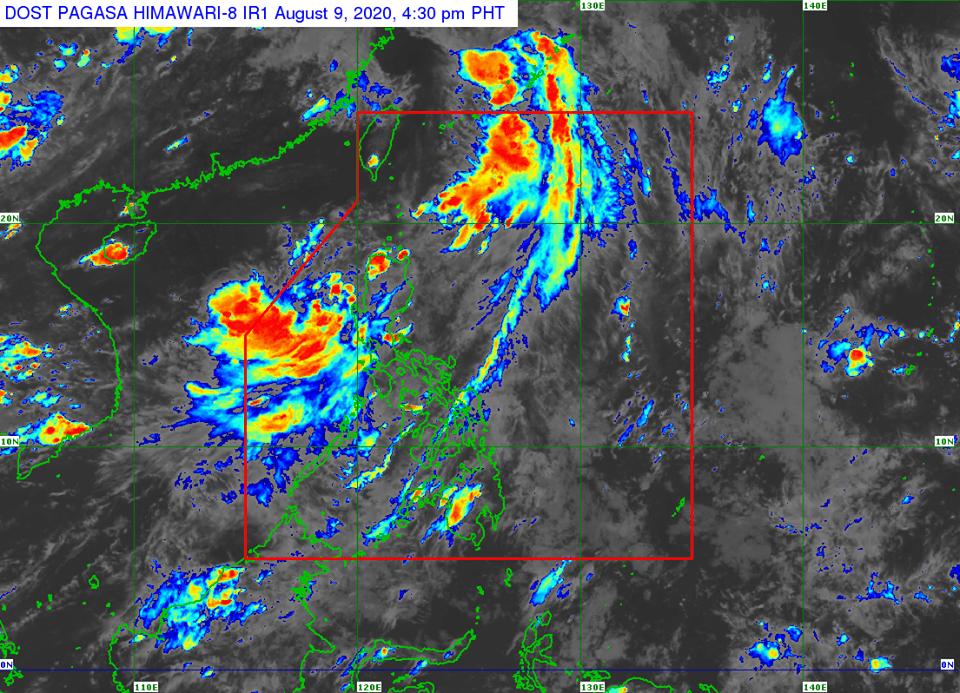
Meanwhile, PAGASA said a new low pressure area (LPA) was last spotted 250 kilometers west of Dagupan City, Pangasinan.
“This disturbance may develop into a tropical depression within the next 24 hours,” the bureau said.
Gusty conditions brought by the southwest monsoon (or Habagat) may be experienced (especially in coastal and mountainous areas) in the next 24 hours over Pangasinan, Benguet, Nueva Vizcaya, Quirino, Central Luzon, Metro Manila, Calabarzon, Mimaropa, Bicol Region, and Western Visayas.
Furthermore, the Habagat and the LPA are set to bring monsoon rains over Ilocos Region, Abra, Benguet, Zambales, Bataan, Pampanga, Tarlac, Cavite, Batangas, and MIMAROPA and occasional rains over Metro Manila, Aklan, Antique, and the rest of Luzon.
PAGASA also warned that “flooding and rain-induced landslides may occur during heavy or prolonged rainfall especially in areas that are highly or very highly susceptible to these hazards.”
RJ Espartinez